CycloQuébec
FR
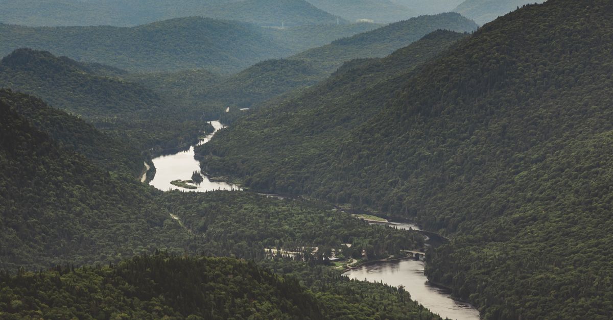
Lanaudiere — paysage de la région
Mixed🟡 ModerateLinear

Parc linéaire de la Rivière L\

Lanaudiere

40
km
(0)
320
m dénivelé+
0
photos

Description

Parcours linéaire le long de la Rivière L\

Route map

GPS track coming soon

The track will be available soon

Practical information

Parc linéaire de la Rivière L\ is a mixed bike path of about 40 km in the Lanaudiere region. Here is everything you need to plan your ride: bike type, difficulty, best season and safety tips.

Tips for riding it

  • The route mixes surfaces: a hybrid or gravel bike is the most versatile choice.
  • Rated moderate, expect some hills and a basic level of fitness.
  • Over 40 km, bring water, snacks and a repair kit for a flat tire.
  • With about 320 m of climbing, expect some real ascents.
  • The ideal season to ride generally runs from May to October in Québec.
  • Wear a helmet, respect signage and share the path with other users.

Frequently asked questions

How long is Parc linéaire de la Rivière L\?

Parc linéaire de la Rivière L\ is about 40 km long, in the Lanaudiere region.

What bike is best for Parc linéaire de la Rivière L\?

The surface is mixed, so a hybrid or gravel bike is the best choice.

Is Parc linéaire de la Rivière L\ suitable for beginners?

Partly — it is of moderate difficulty.

Is there much climbing on Parc linéaire de la Rivière L\?

Yes, around 320 m of elevation gain.

When is the best time to ride Parc linéaire de la Rivière L\?

From May to October, when Québec bike paths are open and clear.

Galerie photos (0)

Aucune photo pour cette piste

Connexion requise

Avis et commentaires (0)

Aucun avis pour le moment

Soyez le premier à partager votre expérience!

Actions

Cyclists

Share

Details

Length
40 km
Surface type
Mixed
Route type
Linear
Difficulty
Moderate
Elevation gain
320 m
Region
Lanaudiere

Been there?

Share your experience and help other cyclists!